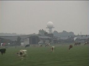
The radar station - July 2004
I knew the mysterious radar station for years, but never had the time to investigate. During my summer holidays I took a better look at the site.
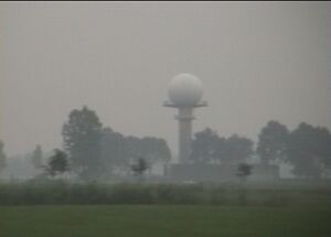
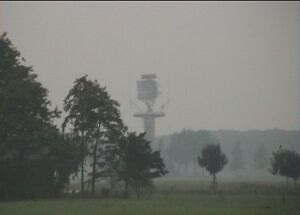
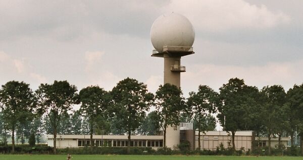
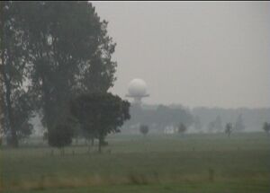
Approach - If you drive east on the A15, then near the village of Herwijnen you see these towers in the fields. First, before the viaduct, you see this white dome. Then, after the viaduct you see the huge revolving antenna. There are a lot of trees in the way. When you drive 120 km/h it's all over in a flash.
On my way to KEMA in Arnhem I always anticipated the moment I would pass near the station. When the radar points in your direction you can hear it's hissing signal on your AM radio!

My topographic map of the Netherlands, dated 1986, shows the buildings, but gives no further information. There was no obvious information on the Internet. This gave an X-files aura to this installation. I had to find out for myself.

A few days after my visit a looked in a more recent topographic map in the library (1998). This time the two towers carried the symbol for "transmitter tower". So this is not really a secret installation.

Closer inspection - During our visit it was raining like mad. we drove up to the entrance of the "golf ball" site. Everything was closed, locked and dark on this Saturday. A barbed wire fence and a sign saying "air traffic control" and "do not enter". A few TV cameras here and there. Now I had a pointer for further research - my guess is that this is the weather radar.

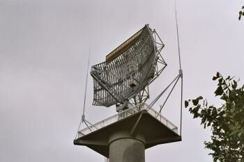
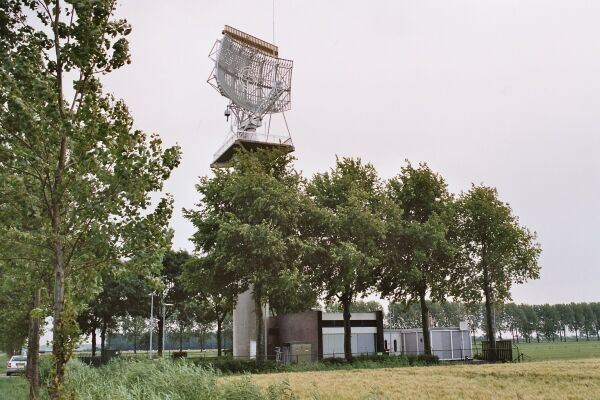
Further out in the field we saw the revolving antenna. Built by "Holland Signaal" - a Dutch high-tech firm closely affiliated with the defence industry.
The powerful motor of the antenna made a lot of noise. I had no radio with me check whether I could hear the radar signal. No one was present at this location either - (the car is mine). Mesh fences, barbed-wire, water filled ditches and a lot of TV-cameras - one on every corner - made closer inspection impossible. Still I would like to return at night - then the station must look even more like the X-files.
Bijlmer crash - The radar station is not entirely unknown. In 1992 the flight El Al 1862 crashed in the Bijlmer, a suburb of Amsterdam. At the time of the crash the primary radar at Herwijnen was not operational due to a malfunctioning switch. Therefore it could not register the loss and fall of one motor of the aircraft - motor's don't carry beacons. http://www.nrc.nl/W2/Lab/Enquete/Rapport/h2_p02.html
Why me ? - As far as I know I'm the first (lay) person to publish a description of this station on the internet and the first person to publish pictures. Isn't this weird? The A15 highway is a busy East-West connection. There must be thousands of drivers who see this station every day - roads in the vicinity carry 40.000 vehicles each day. Is there no one who is curious enough to explore such a site more closely?

I've found only one - loosely related - webpage about the RR radio beacon near Rotterdam - written by a lay person : http://www.xs4all.nl/~nieko/rr.htm

Technical details - With the pointers I had I could do a better Internet search. I found a few official documents:

There were three radars at Herwijnen / Leerdam. I guess that 000 and 001 are combined in the revolving antenna, and that 002 is inside the white dome.

psr = primary surveillance radar (this is the classic radar, using reflections from flying objects)
ssr = secondary surveillance radar (this one sends a coded request that must be answered by a transponder beacon in the airplane - it cannot see objects that have no transponder)
mssr = monopulse secondary surveillance radar

The stations are not only used by Dutch civil air traffic control, but also by Eurocontrol:

The weather radar is called KEC WSR-81C and it has the address Broekgraaf 1 in Herwijnen. This information comes from a permission to use radioactive materials for high voltage protection in radar installations.

C band radars operate on a wavelength of 4-8 cm and a frequency of 4-8 GHz. The frequency allows C band radars to create a smaller beam width using a smaller dish. The signal is more easily attenuated, so this type of radar is best used for short range weather observation. Range can be 450 km.

The rotating antenna contains the "long distance radar" and is located at the address Broekgraaf 2 in Herwijnen (this matches with the topographic map).

Underground Places
Urban Climbing
Urban Adventure Home
© Petr Kazil

July 2004